Rotary Across Wales Walk
the route
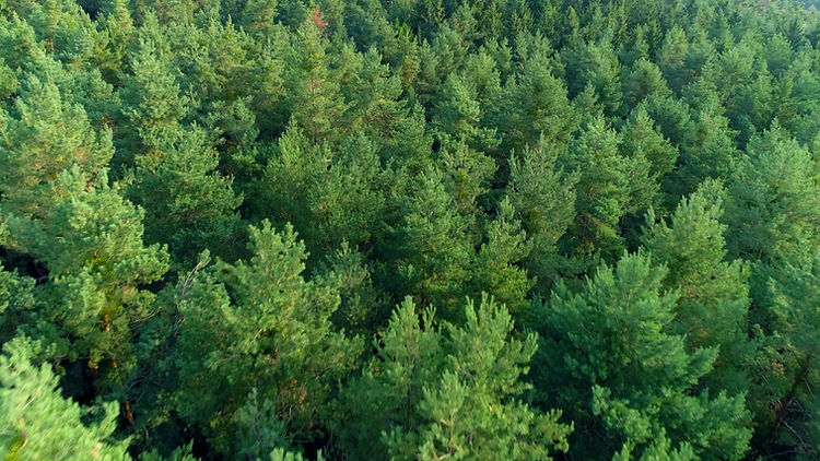
Wander up and over hills from Wales’ historic capital, Machynlleth, heading east toward the English border at Montgomery. Following a mix of public rights of way, Glyndwr’s Way National Trail, country lanes and the meandering Montgomery Canal. Along the way passing through characterful communities and the settlements of Staylittle, Trefeglwys, Caersws, Newtown and Abermule.
the route
Every year we strive to make the event better than the last, creating an experience to inspire and memories that will last forever. The route is mammoth, and more than can be squeezed onto one little map, so here you'll find the route detail in a range of formats.
Naturally, folk are eager to recce the route beforehand and, while most of the route is along public rights of way, there are a couple of sections that are event only. We ask that on these sections you respect the kindness of the landowner and find a nearby alternative for your pre-event explorations.
As always, please follow on the day event way marking, as there are some
scenarios that we simply cannot plan for.


Machynlleth. . .
Climb from the 'Ancient capital of Wales', once home of the Welsh parliament, and now the bustling hub of the UNESCO Dyfi Biosphere. As the sun captures the world, emerge amongst the hills and the slopes of Plynlimon, meandering the way along our wonderful Glyndwr's Way National Trail.

Staylittle. . .
...or stay a while (another day). Sometimes referred to colloquially as Y Stay or Y Stae, is a small village set in the shallow upland basin of the Clywedog reservoir. A cluster of Bronze Age burial mounds and a flint scraper found in the area provide significant evidence of a possible settlement, which would have been seasonal, associated with upland summer grazing. For RAWW, it's the much loved breakfast stop and checkpoint, where you will be refuelled before descending into the Severn Valley.

Caersws. . .
Sliding into the Severn Valley and its Roman settlement 'Fort of Sws', 'Caer' meaning fort, and 'Swsan' being an ancient Roman queen. Two Roman forts once dominated the area, which would have been the terminus of the Roman Road from Chester (via Meifod). The bustling garrison now lays quiet and you’ll see the earth work remains to your left as you pass the railway station. Passing the halfway mark between coast and border, with lunch awaiting you a little further along at Aberhafesp.

Newtown. . .
A market town, as long ago as the 13th century. Previously know as Llanfair Cedewain, the now largest town in Mid Wales which acquired its name in 1279 when Roger Mortimer was granted a market charter by Edward Long Shanks. The town grew in the 18th and 19th centuries around the textile and flannel industry, stimulated by the completion of the Montgomeryshire Canal. Lookout for the historic footprint of this industry as you head eastwards out of town along the now quiet canal.

Abermule. . .
Hovering high on a nearby hillside are the remains of Dolforwyn Castle, the only castle built by the last native prince of Gwynedd of direct descent, Llywelyn ap Gruffudd, Prince of Wales. It became the administrative centre for Llywelyn which incensed Edward Long Shanks so much that it was besieged. He seized Llywelyn's lands and granted them to the Mortimers. The now cosy village is home to our tea and cake checkpoint and the last fuel stop before landing in Montgomery.

Montgomery. . .
Up and over Town Hill, with its ponderous memorial and to views beyond the Norman castle, sink to the hub of the town, and relish in the wonderful welcome, as you put up your feet and glow from your achievement.

route maps
